Surveying Archaeology
Under Construction.
Downloadable Portfolios
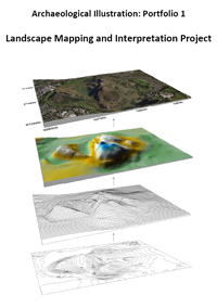
 Landscape Mapping and Interpretation Project
This portfolio shows how a collection of data points recorded using a basic GPS can be converted into a meaningful publication illustration.