My Manuals
During my time as an illustrator, surveyor and GIS technician I've created a number of manuals describing in detail how to perform various procedures. Some of these relate to hardware issues whilst some describe how to use software for specific tasks. Some of these are available below to download in pdf format.
Downloadable Guides
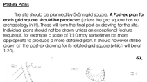 Field Illustrations Guide
Description of the type of planning that should be undertaken on an archaeological site, including pre-ex and post-ex plans, sections, and conventions.
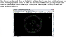 Digitising Archaeological Plans with AutoCad Guide
Guide to digitising multiple archaeological site plans in AutoCad using a digitising tablet.
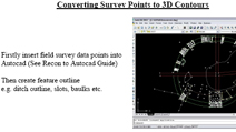 Guide to Creating 3D Contours
This manual shows the process of converting points recorded by survey into a 3D contour surface using AutoCad and a program called Surfer.
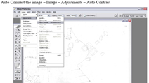 How to Scan Site Plans Guide
Guide to scanning site plans in the most efficient way using Photoshop.
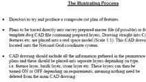 Illustrating Values Guide
List of settings for Adobe Illustrator and AutoCad to be used when dealing with archaeological layers.
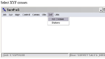 Guide to Importing GPS Data into Cad
Quick guide on how to use SurvPro to convert survey data into an AutoCad file.
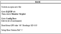 Quick Guide to Setting Up ProMark 3 DGPS System
Check list for in the field setting up of the ProMark 3 DGPS System.
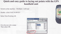 Guide to Laying Out Points with ProMark 3 Handheld
Guide to laying out points with the ProMark 3 handheld using Fast Survey software.
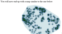 Guide to Creating Density Maps in ArcGIS
Description of how to create density maps using the Density command from the Spatial Analyst toolbox in ArcGIS. This could be used to show the density of finds on an archaeological site or the density of certain types of site within a landscape.
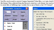 Guide to Importing Data from Recon Data Collector into AutoCad
Guide on how to import survey data, collected from a total station using a Recon data collector, into AutoCad.